Tags for Forum Posts: fillthathole, pothole
- Attachments:
Replies to This Discussion
-
Update from Hackney - tree will cut back in July. I have asked the tree officer to report the pothole to the highways department
-
OK, cool, thanks Adam- do I need to do anything at this point, or is it covered?
-
I think it would be worth reporting the pothole to Hackney. It is quite hard to identify specific location - the closest landmark is the crossing, but no street numbers
-
There are a couple of street lights close by. Does Hackney - like Haringey - put small rectangular metal ID tags with a unique number and code? If so giving the closest one could help.
Otherwise how about a screenshot from Google Street View sent with the email?
-
There are a lot of missing ID tags on Haringey lamp posts around this location - between Endymion Rd and the New River
-
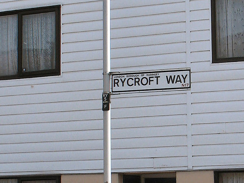
Have people noticed missing tags elsewhere? They look like this. (Click the photo to see larger size.)
If they're not being put on columns (or replaced) then Haringey needs to tell us. The website asks people to use them. And not just for faulty street lights. The second example below is for giving the location of dumped rubbish.
-
Next time I pass I will take photos and use the report app, that seems to pick up locations and filter to the right council.
If a couple of us did it it might get things moved up the priority list as it were.
-
P.S. About tree branches obscuring streetlights, well, the trees they do grow high and the leaves they do grow green paying no attention whatever to either borough boundaries or cyclists. So can I suggest that a snall group of Harringay Online's cyclists could cooperate among themselves to take some evening photos of both sides of the boundary and report any problems from overgrowing branches.
Plainly, if the trees are in Finsbury Park they'll need attention from Haringey Parks staff. For trees on the eastern side of the road it will depend on who owns the land.
- ‹ Previous
- 1
- 2
- 3
- Next ›
© 2026 Created by Hugh.
Powered by
![]()
